QGIS

Filter Courses within "QGIS" (Click to filter)
Introduction aux Systèmes d’Information Géographique - Partie 1 (Coursera) Coursera
École Polytechnique Fédérale de Lausanne

Introduction aux Systèmes d’Information Géographique - Partie 1 (Coursera)

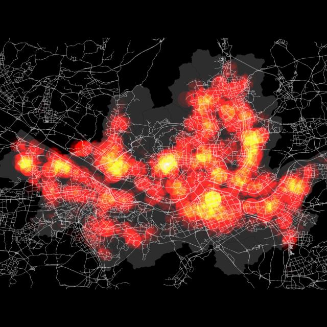
Ce cours introductif sur les Systèmes d'Information Géographique (SIG) vous offre une formation complète en deux parties, sans nécessiter de compétences préalables en informatique. Apprenez à manipuler des données géospatiales et à créer des cartes avec QGIS, un logiciel libre.

Jun 29th 2026
5-12 Weeks
Introduction aux Systèmes d’Information Géographique - Partie 2 (Coursera) Coursera
École Polytechnique Fédérale de Lausanne

Introduction aux Systèmes d’Information Géographique - Partie 2 (Coursera)

Plongez dans la seconde partie d'un enseignement complet sur les systèmes d’information géographique (SIG). Ce cours introductif est conçu pour vous initier aux concepts clés de SIG sans nécessiter de connaissances préalables en informatique. Apprenez à manipuler des données spatiales et à créer des cartes géographiques avec QGIS, un logiciel libre. Préparez-vous à une expérience pratique enrichissante.

Jun 29th 2026
5-12 Weeks
Spatial Data Science and Applications (Coursera) Coursera
Yonsei University

Spatial Data Science and Applications (Coursera)

Discover the world of Spatial Data Science, a rapidly growing field that combines geography, statistics, and computer science. This course is designed for data scientists and analysts looking to expand their expertise into spatial analysis and GIS. Learn how to harness the power of location-based data to solve complex problems in various industries.

Jun 15th 2026
5-12 Weeks
Geographical Information Systems - Part 2 (Coursera) Coursera
École Polytechnique Fédérale de Lausanne

Geographical Information Systems - Part 2 (Coursera)

Dive deeper into the world of GIS with our second part course. Whether you're new to computer skills or looking to refine your expertise, this practical course equips you with advanced techniques in Geographic Information Systems (GIS). Master creating spatial databases and producing detailed geographic maps using QGIS and Geoda, two powerful free Open Source tools.

Jun 8th 2026
5-12 Weeks
Computational Watershed Hydrology (edX) EdX
Purdue University,PurdueX

Computational Watershed Hydrology (edX)

Dive into the world of watershed hydrology with our online course, Computational Watershed Hydrology. Gain expertise in analyzing hydrological systems, managing water resources, and applying computational models for effective decision-making. Learn from real observations and geospatial data to understand and model complex watershed processes.

Jan 10th 2022
13-24 Weeks
Page 1