EdX

Computational Watershed Hydrology (edX)

Offered by Purdue University, PurdueX,
Computational Watershed Hydrology (edX)

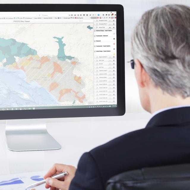
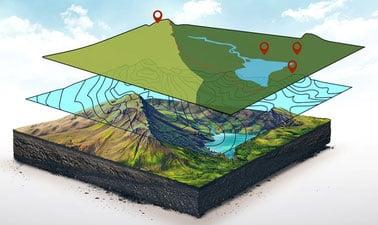
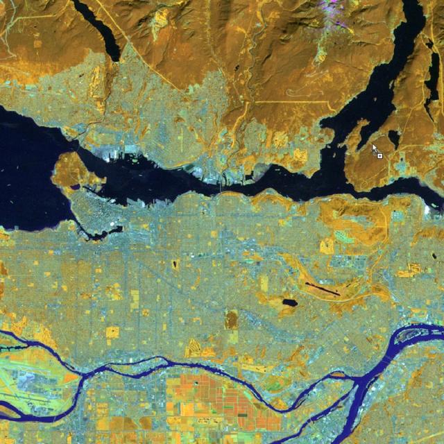
Learn how to perform hydrologic analysis and modeling using real observations, geospatial data, and computational tools. Students in this class will learn how to access and process commonly used geospatial and temporal data such as the digital elevation model (DEM), land use, soil, streamflow and precipitation using geographic information systems (GIS).

Class Deals by MOOC List - Click here and see EdX's Active Discounts, Deals, and Promo Codes.

After processing, students will learn how to use these data to create hydrologic and hydraulic models such as HEC-HMS, HEC-RAS and SWAT. Students will learn how to interpret model results and present information to convey the role of climate and human factors on watershed hydrology. After completing this course, students should be able to perform hydrologic and hydraulic analysis or modeling in research and professional practice to address issues related to water movement and availability in natural settings.

What you'll learn

  • Obtain, process and analyze topography, land use, soil, hydrography, climate and streamflow data
  • Use geospatial tools such as ArcGIS and QGIS for delineating stream network and watershed boundaries
  • Develop commonly used hydrologic and hydraulic models such as HEC-HMS, HEC-RAS and SWAT for simulating hydrologic and hydraulic processes

Prerequisites:
Students interested in this course are expected to have a working knowledge of ArcGIS.
To achieve a course certificate, students will need to have access to ArcGIS.
Learners may purchase a one-year license from Esri.

Go to Class
MOOC List is learner-supported. When you buy through links on our site, we may earn an affiliate commission.

Related Courses

Geographical Information Systems - Part 1 (Coursera) Coursera
École Polytechnique Fédérale de Lausanne

Geographical Information Systems - Part 1 (Coursera)

This course is organized into two parts presenting the theoretical and practical foundations of geographic information systems (GIS). Together theses courses constitute an introduction to GIS and require no prior knowledge. By following this introduction to GIS you will quickly acquire the basic knowledge required to create spatial databases and produce high-quality maps and cartographic representations. This is a practical course and is based on free, open-source software, including QGIS.

Jun 22nd 2026
5-12 Weeks
GIS Data Formats, Design and Quality (Coursera) Coursera
University of California, Davis

GIS Data Formats, Design and Quality (Coursera)

In this course, the second in the Geographic Information Systems (GIS) Specialization. What you will learn: design data tables and use separating and joining data in a relational database; write query strings to subset data; create and work with raster data; create web maps.

Jun 29th 2026
4 Weeks
Climate Change in Water and Sanitation Utilities (edX) EdX
Inter-American Development Bank - IDB,IDBx

Climate Change in Water and Sanitation Utilities (edX)

Did you know that some water and sanitation utilities are beginning to lead the transition towards a carbon-neutral future? If you are a professional or an active stakeholder in the water and sanitation sector and want to learn more about how to reduce greenhouse gas emissions at every stage of the urban water cycle, this course is for you. In this course, you will learn about the actions to reduce greenhouse gas emissions in urban water and sanitation utilities and the benefits this brings in terms of economics, environmental impact, and efficiency. Discover the unexplored potential of water and sanitation utilities in global greenhouse gas emissions reduction.

Self Paced
Self-Paced
Cartography (Esri) Esri
Esri

Cartography (Esri)

Once, only cartographers made maps. Today anyone can. Still, cartographers can teach people to make better maps, just as chefs can show people how to cook better meals. With coaching from experienced cartographers and practical, hands-on exercises using ArcGIS Pro, you'll become a smarter mapmaker, ready to go beyond the defaults and make better maps.

Feb 16th 2022
5-12 Weeks
Spatial Analysis and Satellite Imagery in a GIS (Coursera) Coursera
University of Toronto

Spatial Analysis and Satellite Imagery in a GIS (Coursera)

In this course, you will learn how to analyze map data using different data types and methods to answer geographic questions. First, you will learn how to filter a data set using different types of queries to find just the data you need to answer a particular question. Then, we will discuss simple yet powerful analysis methods that use vector data to find spatial relationships within and between data sets.

Jun 29th 2026
5-12 Weeks
Computational Geometry (Coursera) Coursera
Saint Petersburg State University

Computational Geometry (Coursera)

This course represents an introduction to computational geometry – a branch of algorithm theory that aims at solving problems about geometric objects. Its application areas include computer graphics, computer-aided design and geographic information systems, robotics, and many others. You will learn to apply to this end various algorithmic approaches, and asses their strong and weak points in a particular context, thus gaining an ability to choose the most appropriate method for a concrete problem.

May 16th 2022
5-12 Weeks
Introduction to GIS Mapping (Coursera) Coursera
University of Toronto

Introduction to GIS Mapping (Coursera)

Get started learning about the fascinating and useful world of geographic information systems (GIS)! In this first course of the specialization GIS, Mapping, and Spatial Analysis, you'll learn about what a GIS is, how to get started with the software yourself, how things we find in the real world can be represented on a map, how we record locations using coordinates, and how we can make a two-dimensional map from a three-dimensional Earth.

Jun 29th 2026
5-12 Weeks
The Water Cycle (Coursera) Coursera
PepsiCo

The Water Cycle (Coursera)

In this course, spread over ten modules, participants will learn about: the water cycle; hydrology; groundwater models; human impacts on freshwater ecosystems; water governance; water law; the economics of water infrastructure and scenario planning and municipal water.

Jun 29th 2026
4 Weeks