Geographic Information Systems

Filter Courses within "Geographic Information Systems" (Click to filter)
Fundamentals of GIS (Coursera) Coursera
University of California, Davis

Fundamentals of GIS (Coursera)

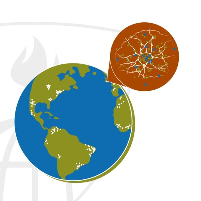
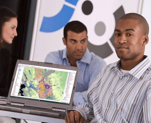
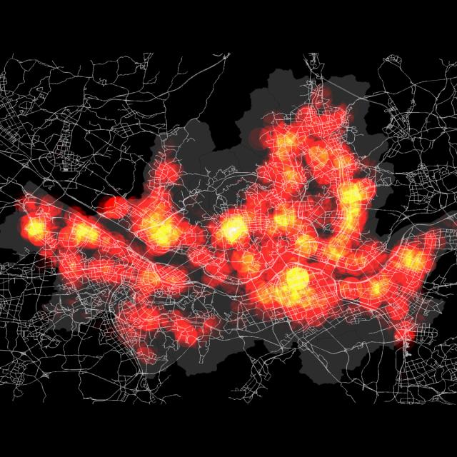
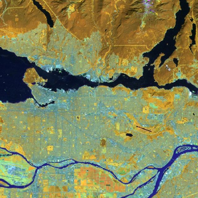
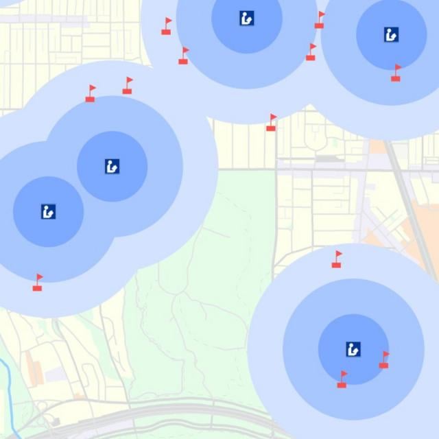
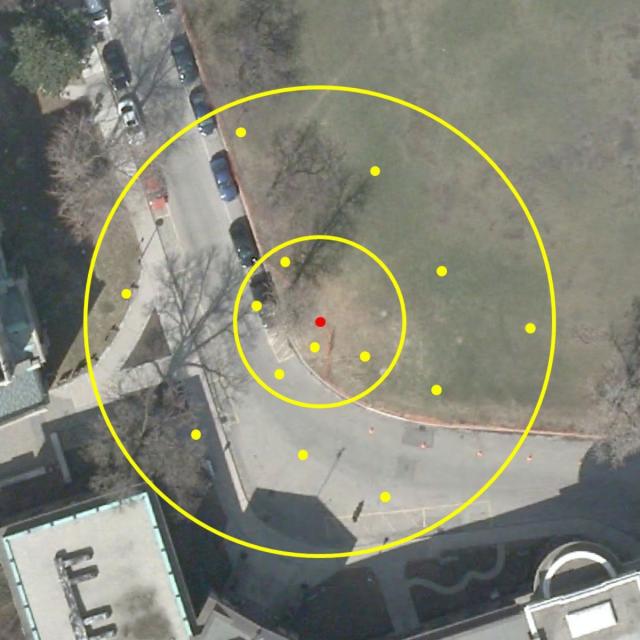
Discover the fundamentals of Geographic Information Systems (GIS) in this engaging online course. Whether you're new to geospatial analysis or looking to enhance your skills, this course will guide you through essential concepts, practical applications, and advanced mapping techniques. Learn how GIS can transform data into actionable insights and create compelling visual representations of spatial information.

Jun 22nd 2026
4 Weeks
GIS Data Formats, Design and Quality (Coursera) Coursera
University of California, Davis

GIS Data Formats, Design and Quality (Coursera)

Dive into Geographic Information Systems (GIS) with our 'GIS Data Formats, Design and Quality' course. Learn how to design efficient data tables, manage relational databases, create and manipulate raster data, and build engaging web maps. This comprehensive guide is perfect for those looking to refine their GIS expertise and improve data quality.

Jun 22nd 2026
4 Weeks
Geographical Information Systems - Part 1 (Coursera) Coursera
École Polytechnique Fédérale de Lausanne

Geographical Information Systems - Part 1 (Coursera)

Embark on an introductory journey into the world of Geographic Information Systems (GIS). This two-part course is designed for beginners, providing a solid foundation in both theoretical and practical aspects of GIS. You'll learn to build spatial databases, create high-quality maps, and develop essential cartographic skills without any prior knowledge required. Utilizing free, open-source software such as QGIS, this hands-on course will equip you with the basic skills needed to start your journey in GIS.

Jun 22nd 2026
5-12 Weeks
GIS Applications Across Industries (Coursera) Coursera
University of California, Davis

GIS Applications Across Industries (Coursera)

Discover the transformative potential of Geographic Information Systems (GIS) in this specialized online course. Gain practical skills applicable to environmental studies, public health, emergency management, and business development. Master advanced analysis techniques using ArcGIS Pro through hands-on exercises.

Jun 22nd 2026
4 Weeks
Spatial Data Science and Applications (Coursera) Coursera
Yonsei University

Spatial Data Science and Applications (Coursera)

Discover the world of Spatial Data Science, a rapidly growing field that combines geography, statistics, and computer science. This course is designed for data scientists and analysts looking to expand their expertise into spatial analysis and GIS. Learn how to harness the power of location-based data to solve complex problems in various industries.

Jun 15th 2026
5-12 Weeks
Spatial Analysis and Satellite Imagery in a GIS (Coursera) Coursera
University of Toronto

Spatial Analysis and Satellite Imagery in a GIS (Coursera)

Discover the power of spatial analysis and satellite imagery in Geographic Information Systems (GIS) with our expert-led online course. Whether you're a student, professional, or enthusiast, this course will equip you with essential skills for analyzing map data, filtering datasets, and uncovering spatial relationships to answer complex geographic questions.

Jun 15th 2026
5-12 Weeks
Introduction to GIS Mapping (Coursera) Coursera
University of Toronto

Introduction to GIS Mapping (Coursera)

Embark on an exciting journey into the realm of Geographic Information Systems (GIS) with this foundational course. Discover how to harness the power of GIS mapping to visualize, analyze, and understand spatial data. Perfect for beginners eager to explore the intersection of geography, technology, and data visualization.

Jun 15th 2026
5-12 Weeks
GIS Data Acquisition and Map Design (Coursera) Coursera
University of Toronto

GIS Data Acquisition and Map Design (Coursera)

Discover how to find and utilize GIS data for creating compelling maps with our 'GIS Data Acquisition and Map Design' course. Whether you're a beginner or an experienced professional, this course will equip you with the skills needed to efficiently acquire, analyze, and present geographic information system (GIS) data effectively.

Jun 15th 2026
5-12 Weeks
Page 1 Next ›