Modellazione digitale 3D: input (POK)

Offered by Politecnico di Milano,
Modellazione digitale 3D: input (POK)

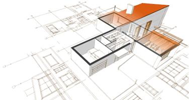
Importare, georeferenziare e gestire, in ambiente CAD, database cartografici e fotogrammetrici. Il programma, di carattere prettamente operativo, si propone di fornire indicazioni pratiche per l’acquisizione e la gestione di cartografia da geoportale, per l’acquisizione e la gestione di dati metrico spaziali acquisiti tramite scansione 3D in ambiente reale, e per la georeferenziazione e integrazione delle informazioni in ambiente CAD.

Il corso è composto da due week:
Week 1 – L’input da basi cartografiche
Week 2 – L’input da scansione 3D

La week 1 è articolata in tre lezioni. Nella prima lezione vedremo come “Gestire e condividere basi cartografiche vettoriali geo-referenziate in ambiente GIS e CAD”, in particolare mostreremo come importare e integrare cartografia vettoriale GIS in ambiente CAD, e come esportare modelli CAD verso l’ambiente GIS; ci soffermeremo anche sull’organizzazione di mappe e informazioni nei database cartografici, con alcuni cenni sui sistemi di proiezione e di riferimento, e sulla georeferenziazione e gestione del formato dei file di interscambio.
Nella seconda lezione mostreremo come “Importare e gestire file cartografici ‘raster’ in ambiente GIS”; vedremo in particolare come inserire in ambiente GIS mappe raster georeferenziate, e come georeferenziare mappe raster non georeferenziate; ci occuperemo anche del controllo dei parametri di conversione, della scalatura e dell’orientamento delle carte, nonché del collegamento e dell’archiviazione dei file importati.
Nella terza lezione vedremo come “Importare e gestire file cartografici ‘vettoriali’ in ambiente CAD”, soffermandoci più in generale sul tema dell’interoperabilità fra ambienti software, e sull’implementazione di basi modellistiche integrate, con particolare riferimento al potenziale informativo e semantico derivante dalla convergenza delle tecnologie CAD, GIS e BIM, ulteriormente potenziabile con l’impiego di plugin parametrici e motori di gaming.
La week 2 si compone di due lezioni. Nella prima, intitolata “Importare e visualizzare in ambiente CAD dati metrico spaziali provenienti da scansioni 3D”, si affronta il tema dell’importazione e gestione, in ambiente CAD, di nuvole di punti, mesh e texture generate mediante software fotogrammetrico a partire da riprese fotografiche o scansioni laser, con particolare riferimento al controllo dei formati di interscambio, alla corretta riduzione in scala dei database 3D, ai limiti e alle possibilità di editing dei file origine.
La seconda lezione, dal titolo “Integrare in ambiente CAD e georeferenziare dati metrico spaziali provenienti da scansioni 3D” è dedicata al montaggio e alla georeferenziazione di database fotogrammetrici 3D in ambiente CAD, rispetto a selezionati punti di riferimento presenti su basi cartografiche georeferenziate precedentemente importate da ambiente GIS, con l’indicazione delle principali fasi e peculiarità interpretative che caratterizzano il processo di integrazione dei file in un modello coerente.
Go to Class
MOOC List is learner-supported. When you buy through links on our site, we may earn an affiliate commission.

Related Courses

Explorer l’espace des humains: une introduction à la géographicité (edX) EdX
École Polytechnique Fédérale de Lausanne,EPFLx

Explorer l’espace des humains: une introduction à la géographicité (edX)

Explorer comment la géographie, la cartographie, l’urbanisation et la justice spatiale jouent un rôle dans la compréhension de l’espace des humains et des sociétés. Comment définir et comprendre la notion d’espace? Comment l’urbanisation, la mobilité, Internet et la mondialisation ont-ils influencé notre perception du temps et de l’espace? Ce cours a pour objectif de définir la notion d’espace en apportant des clés de lecture pour comprendre les sociétés qui nous entourent.

Self Paced
Self-Paced
Spatial Data Science and Applications (Coursera) Coursera
Yonsei University

Spatial Data Science and Applications (Coursera)

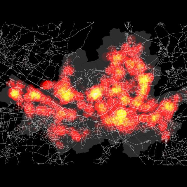
Spatial (map) is considered as a core infrastructure of modern IT world, which is substantiated by business transactions of major IT companies such as Apple, Google, Microsoft, Amazon, Intel, and Uber, and even motor companies such as Audi, BMW, and Mercedes. Consequently, they are bound to hire more and more spatial data scientists. Based on such business trend, this course is designed to present a firm understanding of spatial data science to the learners, who would have a basic knowledge of data science and data analysis, and eventually to make their expertise differentiated from other nominal data scientists and data analysts.

Sep 7th 2026
5-12 Weeks
3D GIS (edX) EdX
University of Alaska Fairbanks,AlaskaX

3D GIS (edX)

Take your maps into the third dimension: Learn GIS concepts and tools to visualize, analyze, and interpret spatial data in 3D. Reveal patterns that can lead to better decision making. Maps are graphic representations of reality and help us understand and navigate the world around us. Maps can incorporate third dimension through contours, hillshading (3D modeling), and profile views.

Self Paced
Self-Paced
Using Rapid Prototyping in the Engineering Design Process (Coursera) Coursera
Arizona State University

Using Rapid Prototyping in the Engineering Design Process (Coursera)

Hello, everyone! Welcome to this course on Using Rapid Prototyping in the Engineering Design Process. This is part of the Rapid Prototyping and Tooling specialization. In this course, I’ll cover the engineering design process and how it can be used to solve open-ended problems. I’ll discuss the different stages of prototyping and why it is advantageous to produce prototypes rapidly. I’ll then discuss engineering drawings and how to communicate information about 3-dimensional objects on 2-dimensional mediums such as paper or a computer screen.

Aug 31st 2026
4 Weeks
Designing Hardware for Raspberry Pi Projects (Coursera) Coursera
Johns Hopkins University

Designing Hardware for Raspberry Pi Projects (Coursera)

This is course 4 of this specialization (although it can be taken out of order) and focuses on applying experience and knowledge gained in the first three courses to build physical electronics hardware. Specifically, this course focuses on four areas: circuit simulation, schematic entry, PCB layout, and 3D CAD modeling. There are many excellent commercial applications available in these areas, however to give everyone access we'll be using all free and open-source software.

Aug 31st 2026
4 Weeks
Spatial Analysis and Satellite Imagery in a GIS (Coursera) Coursera
University of Toronto

Spatial Analysis and Satellite Imagery in a GIS (Coursera)

In this course, you will learn how to analyze map data using different data types and methods to answer geographic questions. First, you will learn how to filter a data set using different types of queries to find just the data you need to answer a particular question. Then, we will discuss simple yet powerful analysis methods that use vector data to find spatial relationships within and between data sets.

Aug 24th 2026
5-12 Weeks
Éléments de Géomatique (Coursera) Coursera
École Polytechnique Fédérale de Lausanne

Éléments de Géomatique (Coursera)

Les nouvelles technologies de l’information ont facilité l’accès à de nombreuses bases de données offrant au grand public, mais surtout aux professionnels, une multitude de services. Le domaine de l’information géographique a également suivi ce mouvement en modernisant l’ensemble des supports, des plans, des cartes topographiques et de tous les types de données à référence spatiale. Face au déploiement massif des cartes numériques et des nombreux services basés sur la localisation, il s’agit de rester critique et surtout de développer les capacités nécessaires afin de choisir les outils et jeux de géodonnées adaptés aux besoins professionnels.

Aug 24th 2026
5-12 Weeks
Fundamentals of GIS (Coursera) Coursera
University of California, Davis

Fundamentals of GIS (Coursera)

Explore the world of spatial analysis and cartography with geographic information systems (GIS). What you will learn: define core geospatial concepts; practice with subset data using selections and feature attributes; create map books using advanced mapping techniques; create layer and map packages.

Aug 24th 2026
4 Weeks
Modeling and Design for Mechanical Engineers with Autodesk Fusion 360 (Coursera) Coursera
Autodesk

Modeling and Design for Mechanical Engineers with Autodesk Fusion 360 (Coursera)

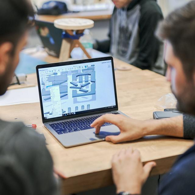
There are many considerations that play a part in engineering a new product. Regardless of what that product is, there are fundamentals such as form, fit, and function when it comes to digital modeling. In this course, we lay the foundation to create any design and dive deep into topics about the control of the design. From assembly joints and joint limits to complex shapes using forms, rest assured that your design will be rock solid.

Nov 11th 2024
4 Weeks
Intro to Siemens NX: Engineering Essentials and Part Design (Coursera) Coursera
Siemens

Intro to Siemens NX: Engineering Essentials and Part Design (Coursera)

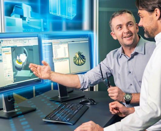
Welcome to Intro to Siemens NX: Engineering Essentials and Part Design!! This course will provide you with the essential skills needed to excel in computer-aided design (CAD), computer-aided manufacturing (CAM), and computer-aided engineering (CAE) using Siemens NX software. Be prepared to dive into the versatile capabilities of NX as it empowers engineers and designers to efficiently create, simulate, and manufacture products.

Aug 31st 2026
4 Weeks