Cartography (Esri)

Offered by Esri,
Cartography (Esri)

Once, only cartographers made maps. Today anyone can. Still, cartographers can teach people to make better maps, just as chefs can show people how to cook better meals. With coaching from experienced cartographers and practical, hands-on exercises using ArcGIS Pro, you'll become a smarter mapmaker, ready to go beyond the defaults and make better maps.

Syllabus

Section 1
Getting Started: Let's Get Mapping
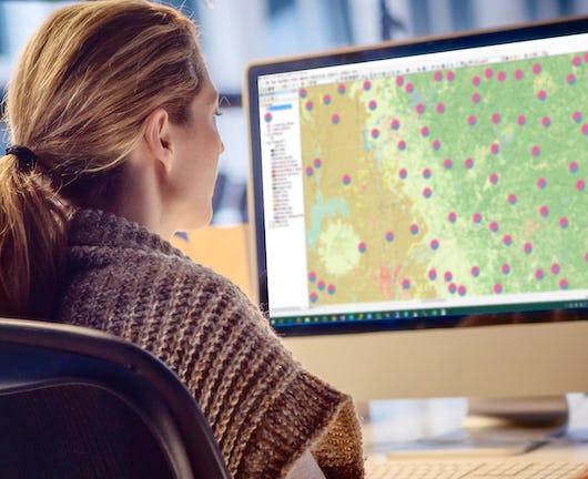
Consider the value and purpose of cartography as science and art. Get set up with ArcGIS Pro, ArcGIS Online, and exercise data. Use ArcGIS Pro to design a small-format, multiscale topographic map, using generalization tools and scale-dependent symbology. Use layouts for composition. Add contextual detail, insets, legends, and marginalia.

Section 2
Math for Mapmakers
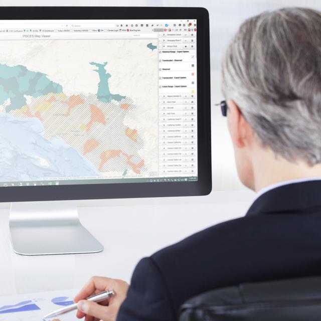
Explore how coordinate systems, transformations, and projections affect your map's message. Deal with the effects of projections and data classification methods on thematic maps. Design and publish a custom basemap in a nonstandard projection to support thematic data. Build attribute-driven symbology. Publish a multiscale web map and app.

Section 3
Language of Graphics
See how generalization, symbology, and color affect your story. Explore generalization techniques that reduce feature complexity for smaller-scale displays. Create a variety of thematic maps, including choropleth, proportional symbol, value-by alpha, and multivariate maps. Change symbology and use transparency in creative ways.

Section 4
Labels and Composition
Learn a little about typography, label placement, and map composition. Set up a palette of label styles for different features and explore options for positioning them around other map details. Create a layout that includes a range of marginalia. Use ArcGIS expressions to define labels in innovative ways.

Section 5
Mapping in 3D
Consider how to best use the z dimension to represent data for both reference and thematic maps. Use 3D symbology and develop a sense of when 3D adds value to your map. Build 3D web scenes and vary the way features are represented using attributes and dynamic symbology.

Section 6
Mapping Change
Use the time-aware and animation controls in ArcGIS Pro to design maps that show temporal change. Direct an animated movie to map change; add captions and dynamic overlay information; and publish in a range of popular, shareable formats. Create a display of small multiples for an infographic poster.

Go to Class
MOOC List is learner-supported. When you buy through links on our site, we may earn an affiliate commission.

Related Courses

Inheritance and Data Structures in Java (Coursera) Coursera
University of Pennsylvania

Inheritance and Data Structures in Java (Coursera)

This course provides a comprehensive look at Java inheritance, including access modifiers and overriding methods. Students are introduced to abstract classes, and will learn how to read and write to files, use regular expressions for parsing text, and how to leverage complex data structures like collections and maps. Additionally, this course offers strategies for catching errors and debugging code, including an overview of Eclipse’s debugging tool.

Jun 22nd 2026
4 Weeks
Éléments de Géomatique (Coursera) Coursera
École Polytechnique Fédérale de Lausanne

Éléments de Géomatique (Coursera)

Les nouvelles technologies de l’information ont facilité l’accès à de nombreuses bases de données offrant au grand public, mais surtout aux professionnels, une multitude de services. Le domaine de l’information géographique a également suivi ce mouvement en modernisant l’ensemble des supports, des plans, des cartes topographiques et de tous les types de données à référence spatiale. Face au déploiement massif des cartes numériques et des nombreux services basés sur la localisation, il s’agit de rester critique et surtout de développer les capacités nécessaires afin de choisir les outils et jeux de géodonnées adaptés aux besoins professionnels.

Jun 1st 2026
5-12 Weeks
Do-It-Yourself Geo Apps (Esri) Esri
Esri

Do-It-Yourself Geo Apps (Esri)

You don’t have to be a software developer to build valuable geo-enabled apps that make your communities smarter and businesses more successful. This course will show you how to combine location and narrative in one application to better communicate and broadcast your story, create custom web applications that solve problems in your community, and build powerful native applications for iOS and Android devices without touching a piece of code.

Jan 26th 2022
4 Weeks
Introduction aux Systèmes d’Information Géographique - Partie 1 (Coursera) Coursera
École Polytechnique Fédérale de Lausanne

Introduction aux Systèmes d’Information Géographique - Partie 1 (Coursera)

Organisé en deux parties, ce cours présente les bases théoriques et pratiques des systèmes d’information géographique. - Il propose une introduction aux systèmes d’information géographique qui ne requiert pas de connaissances préalables en informatique - Il donne la possibilité d’acquérir rapidement les notions de base qui vous permettent de créer des bases de données spatiales et de fabriquer des cartes géographiques - Il s’agit d’un cours pratique qui repose sur l’utilisation de logiciels libres, notamment QGIS.

Jun 1st 2026
5-12 Weeks
Design and Make Infographics (Project-Centered Course) (Coursera) Coursera
Michigan State University

Design and Make Infographics (Project-Centered Course) (Coursera)

In this project-centered course*, you will create a content-rich infographic on a topic of your choice using Adobe Illustrator (which you can download for a free, 30-day trial). You might choose to create a visual representation of data from the world of sports, entertainment, politics, or science, to explain a business trend or environmental issue, or even to present a theme or development from your personal life. Your finished infographic will engage your target audience and convey information clearly through effective use of design elements such as typography, color, and structure.

Jun 22nd 2026
4 Weeks
Data Ingestion, Exploration & Visualization in Qlik Sense (Coursera) Coursera
Coursera Instructor Network

Data Ingestion, Exploration & Visualization in Qlik Sense (Coursera)

This course is an intermediate-level course designed for learners who want to continue their data visualization journey with Qlik Sense, a powerful sophisticated Business Intelligence tool. Data preparation and ingestion is a key prerequisite for data visualization, and this course not only dives deep into that concept, but other important intermediate topics such as filters, expressions, and personalization.

Jun 22nd 2026
1 Week
Geospatial Analysis with ArcGIS (Coursera) Coursera
University of California, Davis

Geospatial Analysis with ArcGIS (Coursera)

Apply your GIS knowledge in this course on geospatial analysis, focusing on analysis tools, 3D data, working with rasters, projections, and environment variables. Through all four weeks of this course, we'll work through a project together - something unique to this course - from project conception, through data retrieval, initial data management and processing, and finally to our analysis products.

Jun 22nd 2026
4 Weeks
Data Visualization Best Practices (Coursera) Coursera
University of California, Irvine

Data Visualization Best Practices (Coursera)

In this course, we will cover the basics of visualization and how it fits into the Data Science workflow. We will focus on the main concepts behind the purpose of visualization and the design principles for creating effective, easy-to-communicate results. You will also set up your Tableau environment, practice data loading, and perform univariate descriptive analysis of the S&P 500 stock sectors.

Jun 15th 2026
4 Weeks
GIS Data Formats, Design and Quality (Coursera) Coursera
University of California, Davis

GIS Data Formats, Design and Quality (Coursera)

In this course, the second in the Geographic Information Systems (GIS) Specialization. What you will learn: design data tables and use separating and joining data in a relational database; write query strings to subset data; create and work with raster data; create web maps.

Jun 22nd 2026
4 Weeks
Introduction to Data Visualization in Qlik Sense (Coursera) Coursera
Coursera Instructor Network

Introduction to Data Visualization in Qlik Sense (Coursera)

Data visualization is especially important today with the increased amount and velocity of data that companies capture daily, and a system is needed to ingest and make sense of all this data for improved decision-making. This course provides a comprehensive understanding of data visualization within the context of business intelligence.

Jun 22nd 2026
1 Week
Visualization for Data Journalism (Coursera) Coursera
University of Illinois at Urbana-Champaign

Visualization for Data Journalism (Coursera)

While telling stories with data has been part of the news practice since its earliest days, it is in the midst of a renaissance. Graphics desks which used to be deemed as “the art department,” a subfield outside the work of newsrooms, are becoming a core part of newsrooms’ operation. Those people (they often have various titles: data journalists, news artists, graphic reporters, developers, etc.) who design news graphics are expected to be full-fledged journalists and work closely with reporters and editors.

Jun 15th 2026
5-12 Weeks