Maps and the Geospatial Revolution (FutureLearn)

Maps and the Geospatial Revolution (FutureLearn)

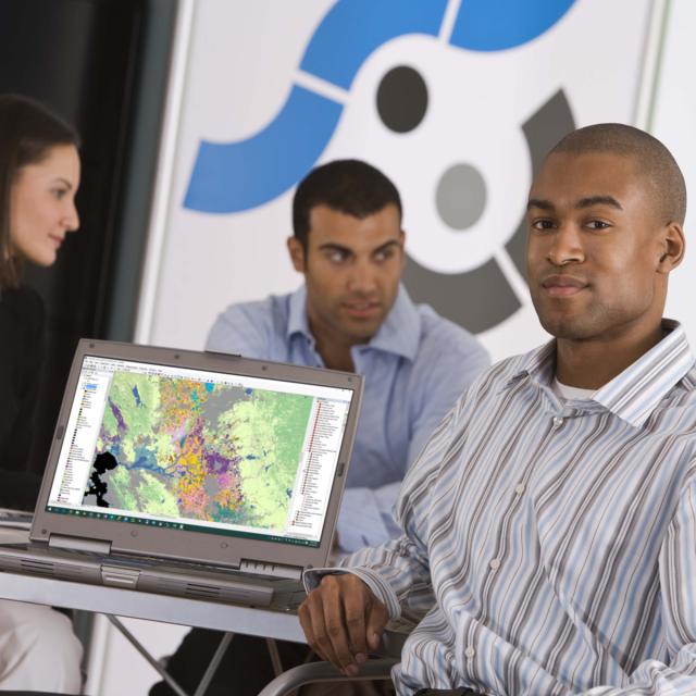
Learn to make maps and analyze geographic patterns using the latest geographic information systems (GIS) and cartographic tools.

Class Deals by MOOC List - Click here and see FutureLearn's Active Discounts, Deals, and Promo Codes.

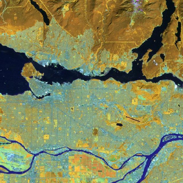
The past decade has seen an explosion of new ways to understand and use location information in widely-accessible technologies. This Geospatial Revolution has created new consumer GPS tools, interactive web maps and location-aware mobile devices. These advances make it possible for everyone to use, collect, and understand spatial information.
This online course brings together core concepts in cartography, geographic information systems (GIS) and spatial thinking, and uses real-world examples, to give you the fundamental skills to engage with geography beyond the surface-level.

What will you achieve?
By the end of the course, you will be able to:

  • Explain the Geospatial Revolution and its impact on the science of geography
  • Practice thinking spatially to solve geographic problems in environmental, social, and technical domains
  • Understand how spatial data is created
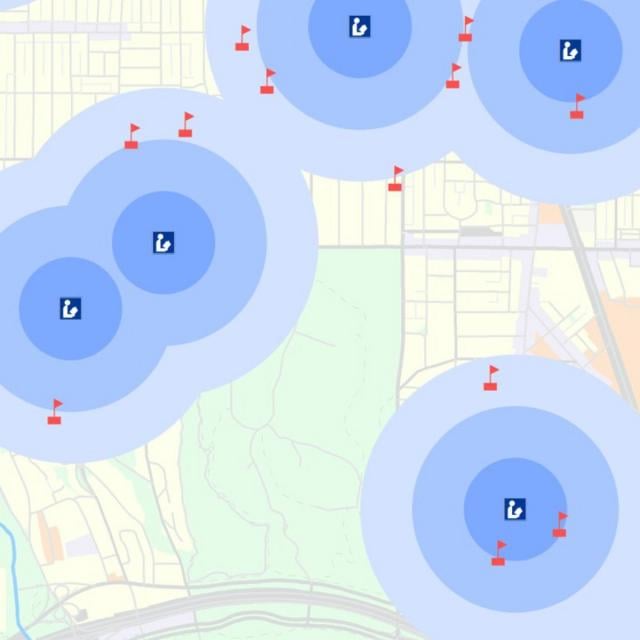
  • Apply spatial analysis techniques using interactive web maps
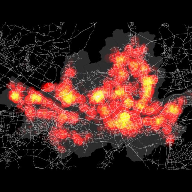
  • Explain the key elements of effective cartographic design

-Practice the art and science of mapmaking using interactive web maps.

Go to Class
MOOC List is learner-supported. When you buy through links on our site, we may earn an affiliate commission.

Related Courses

Éléments de Géomatique (Coursera) Coursera
École Polytechnique Fédérale de Lausanne

Éléments de Géomatique (Coursera)

Les nouvelles technologies de l’information ont facilité l’accès à de nombreuses bases de données offrant au grand public, mais surtout aux professionnels, une multitude de services. Le domaine de l’information géographique a également suivi ce mouvement en modernisant l’ensemble des supports, des plans, des cartes topographiques et de tous les types de données à référence spatiale. Face au déploiement massif des cartes numériques et des nombreux services basés sur la localisation, il s’agit de rester critique et surtout de développer les capacités nécessaires afin de choisir les outils et jeux de géodonnées adaptés aux besoins professionnels.

Jun 1st 2026
5-12 Weeks
Introduction to GIS Mapping (Coursera) Coursera
University of Toronto

Introduction to GIS Mapping (Coursera)

Get started learning about the fascinating and useful world of geographic information systems (GIS)! In this first course of the specialization GIS, Mapping, and Spatial Analysis, you'll learn about what a GIS is, how to get started with the software yourself, how things we find in the real world can be represented on a map, how we record locations using coordinates, and how we can make a two-dimensional map from a three-dimensional Earth.

Jun 15th 2026
5-12 Weeks
Geohealth: Improving Public Health through Geographic Information (FutureLearn) FutureLearn
University of Twente

Geohealth: Improving Public Health through Geographic Information (FutureLearn)

Explore how spatial data and geographic information systems (GIS) can be used to understand and improve public health. The environment in which we live and work can have a profound effect on our health – an effect that is explored by the emerging field of geohealth. This free online course will introduce you to new developments in geohealth, looking at the latest thinking and methods for using spatial data and geographic information systems (GIS) in health settings.

No sessions available
4 Weeks
Cartography (Esri) Esri
Esri

Cartography (Esri)

Once, only cartographers made maps. Today anyone can. Still, cartographers can teach people to make better maps, just as chefs can show people how to cook better meals. With coaching from experienced cartographers and practical, hands-on exercises using ArcGIS Pro, you'll become a smarter mapmaker, ready to go beyond the defaults and make better maps.

Feb 16th 2022
5-12 Weeks
Spatial Data Science and Applications (Coursera) Coursera
Yonsei University

Spatial Data Science and Applications (Coursera)

Spatial (map) is considered as a core infrastructure of modern IT world, which is substantiated by business transactions of major IT companies such as Apple, Google, Microsoft, Amazon, Intel, and Uber, and even motor companies such as Audi, BMW, and Mercedes. Consequently, they are bound to hire more and more spatial data scientists. Based on such business trend, this course is designed to present a firm understanding of spatial data science to the learners, who would have a basic knowledge of data science and data analysis, and eventually to make their expertise differentiated from other nominal data scientists and data analysts.

Jun 15th 2026
5-12 Weeks
Geospatial Analysis Project (Coursera) Coursera
University of California, Davis

Geospatial Analysis Project (Coursera)

In this project-based course, you will design and execute a complete GIS-based analysis – from identifying a concept, question or issue you wish to develop, all the way to final data products and maps that you can add to your portfolio. What you will learn: create a GIS project proposal; develop a hypothesis for a GIS-based question; complete a data analysis in line with your project objectives; interpret and explain the results you obtained in comparison to your original GIS question and/or hypothesis.

Dec 2nd 2024
5-12 Weeks
Getting Started with CyberGIS (Coursera) Coursera
University of Illinois at Urbana-Champaign

Getting Started with CyberGIS (Coursera)

This course is intended to introduce students to CyberGIS—Geospatial Information Science and Systems (GIS)—based on advanced cyberinfrastructure as well as the state of the art in high-performance computing, big data, and cloud computing in the context of geospatial data science. Emphasis is placed on learning the cutting-edge advances of cyberGIS and its underlying geospatial data science principles.

Jun 8th 2026
4 Weeks
Spatial Analysis and Satellite Imagery in a GIS (Coursera) Coursera
University of Toronto

Spatial Analysis and Satellite Imagery in a GIS (Coursera)

In this course, you will learn how to analyze map data using different data types and methods to answer geographic questions. First, you will learn how to filter a data set using different types of queries to find just the data you need to answer a particular question. Then, we will discuss simple yet powerful analysis methods that use vector data to find spatial relationships within and between data sets.

Jun 15th 2026
5-12 Weeks
Inheritance and Data Structures in Java (Coursera) Coursera
University of Pennsylvania

Inheritance and Data Structures in Java (Coursera)

This course provides a comprehensive look at Java inheritance, including access modifiers and overriding methods. Students are introduced to abstract classes, and will learn how to read and write to files, use regular expressions for parsing text, and how to leverage complex data structures like collections and maps. Additionally, this course offers strategies for catching errors and debugging code, including an overview of Eclipse’s debugging tool.

Jun 22nd 2026
4 Weeks