This course provides foundational knowledge of Synthetic Aperture Radar (SAR) remote sensing including SAR imaging, SAR interferometry, and the concepts of polarimetric SAR. The individual concepts will be illustrated with data sets from spaceborne and airborne SAR missions.
Class Deals by MOOC List - Click here and see EdX's Active Discounts, Deals, and Promo Codes.
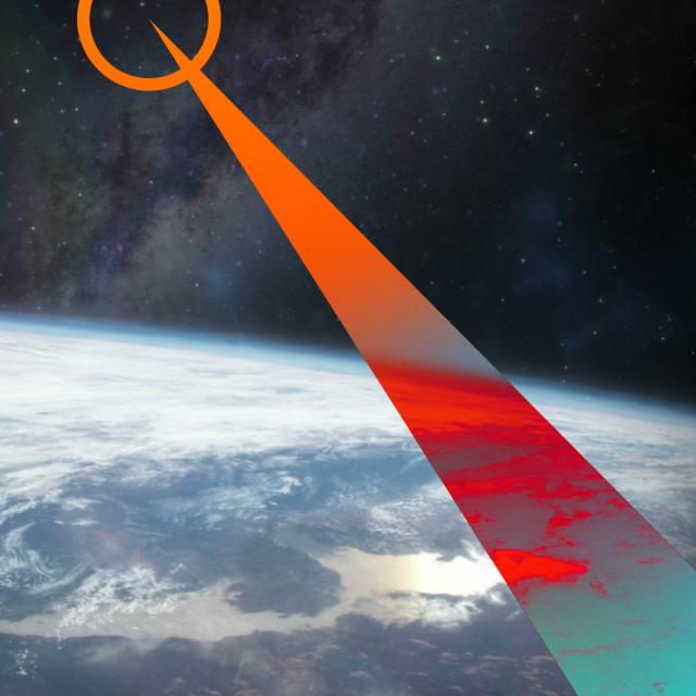
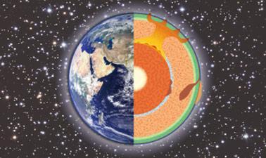
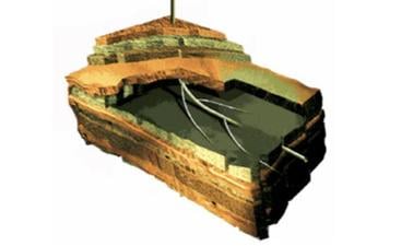
Remote sensing observations from airborne and spaceborne platforms have become an essential tool in earth observation. They provide an immediate and large-area overview of the evolving earth environment, revealing important information on the state of ecosystems, unfolding natural hazards, as well as geodynamic phenomena at volcanoes, earthquakes, and the cryosphere.
This course will introduce you to Synthetic Aperture Radar (SAR), a remote sensing technology that can see the ground even during darkness and through rain, clouds, or smoke. As a participant in this course, you will gain an intuitive understanding of the information contained in SAR observations. You will learn about the concepts and applications of interferometric SAR and experience how SAR data acquired at different polarizations can reveal a wealth of information about the earth environment. Each SAR analysis concept will be illustrated with relevant applications. Specific topics include:
- The mathematical and physical principles of SAR remote sensing
- How to access and visualize SAR data
- Interpretation of SAR images at different wavelengths and polarizations
- Interferometric SAR (InSAR) concepts
- The principles of Polarimetric SAR (PolSAR)
A summary of applications of InSAR and PolSAR in geoscience, hazard mapping, and ecosystem monitoring
Learners on the verified track will put their learned knowledge into action in data analysis and data processing exercises, in which class participants will analyze SAR data sets, generate and interpret interferometric SAR data, and explore the importance of polarization in earth observation. Learners who select the verified track will also have access to online computational labs using Jupyter notebooks that will allow deeper exploration and practice.
This course is part of the Synthetic Aperture Radar (SAR): Applications Professional Certificate.
Prerequisites:
- General proficiency in GIS
- For verified track: Basic knowledge in Python programming
- ARSET Level-0 Training “Fundamentals of Remote Sensing” or equivalent
- ARSET Level-1 Training “Introduction to Synthetic Aperture Radar” or equivalent
What you'll learn
Participants in this course will develop the following skills:
- Intuitive understanding of SAR image and phase information
- Understanding the role of wavelength and signal polarization on SAR image content
- Use of interferometric SAR techniques to measure cm-scale surface deformation.
- Use polarimetric information to analyze ecosystem parameters
- Select the right sensor wavelength and polarization for your application.
Syllabus
Week 1: Course Introduction and Basic Capabilities of SAR
Week 1 will introduce you to the main content and structure of this course. You will also learn about the lab environment that will be available for learners on the “verified track”. The following items will be addressed:
- Introduction to the concept and upcoming lectures and exercises related to this course
- Presentation of the course syllabus
- Presentation of SAR data examples to familiarize students with the appearance and properties of SAR data
Week 2: Introduction to Synthetic Aperture Radar Remote Sensing
Week 2 will introduce the main concepts of Synthetic Aperture Radar (SAR imaging along with the properties and information content of SAR data). You will also learn about the lab environment that will be available for learners on the verified track. Specific topics will include:
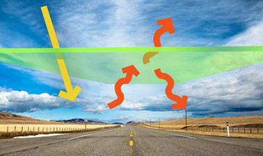
- Properties of microwaves
- What is Synthetic Aperture Radar (SAR) imaging
- Geometric and radiometric properties of SAR
- How SAR sees the world
- Verified Track: Lab exercise on exploring SAR time series for flooding events
Week 3: Introduction to Interferometric SAR (InSAR)
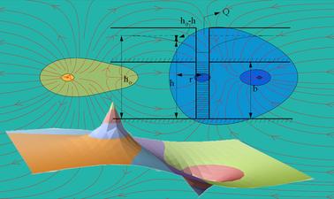
Week 3 will introduce the concepts and applications of Interferometric SAR (InSAR) processing. InSAR uses the phase signal captured in SAR data to track subtle surface movements such as those related to seismic events and volcanic activity. Specifically, Week 3 will address the following items:
- Concepts of Interferometric SAR processing and its main applications
- InSAR for topographic mapping
- InSAR for deformation monitoring
- A glimpse into InSAR time series analysis techniques
- Further reading
- Verified Track: Lab exercise analyzing and interpreting InSAR products
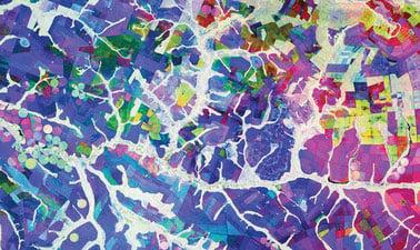
Week 4: The Concepts and Applications of Polarimetric SAR (PolSAR)
InSAR time series analysis techniques enable the tracking of cm-scale surface displacements over long times. These techniques are relevant for a number of hazard applications such as landslide and volcano monitoring. In Week 4 we will address:
- What is polarization and how do different polarizations "see"
- Use polarization to generate color representations of SAR data
- Polarimetric decompositions: Combining information at different polarizations to better understand the earth environment
- Verified Track: Lab exercise generating forest degradation indices from dual-pol SAR data