Modelaje y Análisis con información georreferenciada (Coursera)

Modelaje y Análisis con información georreferenciada (Coursera)

El curso modelaje y análisis con información georreferenciada busca que comprendas la diversidad y el potencial de los datos geográficos. En el curso podrás utilizarlos en ejemplos básicos para modelar, procesar y analizar problemas donde la ubicación juega un rol importante. Todo esto con el fin de encontrar soluciones que te permiten un primer acercamiento práctico para el procesamiento de este tipo de datos no tradicionales.

Class Deals by MOOC List - Click here and see Coursera's Active Discounts, Deals, and Promo Codes.

El curso está dirigido a personas con intereses relacionados a explorar la información geográfica, uso de plataformas para el manejo de información de observación de la tierra, que tengan buen nivel de comprensión lectora en inglés, sepan leer mapas y tengan conocimiento básico sobre programación. El lenguaje utilizado es Python y se proveen tutoriales básicos que permiten entender y desarrollar las actividades planteadas.
Este curso requiere de la instalación de un programa especial, es recomendable que el equipo cuente con las siguientes especificaciones minimas:

  • Computador con mínimo 8 GB de Memoria RAM. 
  • Sistema Operativo Windows 10 
  • Espacio en disco disponible 20 GB 
  • Conexión a internet estable para descargar información geográfica

Course 3 of 3 in the Plataformas para procesar datos no tradicionales Specialization.

What You Will Learn

  • Conocer cómo es la información geográfica, su marco de referencia, cómo se modela y cómo se transforma una entidad geográfica
  • Conocer y realizar operaciones básicas de análisis espacial, con ejemplos sencillos 
  • Comprender y realizar un ejercicio de análisis geográfico basado en un Caso de estudio (distribución de la enfermedad de Chagas en Colombia)
  • Utilizar un cubo de datos para analizar información espacio temporal proveniente de sensores remotos. 

Syllabus

WEEK 1
¿Qué es, cómo es y para qué sirve la información geográfica?
Te damos la bienvenida al módulo 1 de nuestro curso. En este módulo respondemos a las preguntas ¿Qué es, cómo es y para qué sirve la información geográfica? Para ello nos centramos en aprender sobre la potencia de la información geográfica, el marco de referencia geográfico y el modelaje y representación de la información geográfica.

WEEK 2
¿Qué podemos hacer con la información geográfica?
Bienvenido al segundo módulo del curso. En este módulo responderemos a la pregunta ¿Qué podemos hacer con la información geográfica? Para ellos nos centraremos en estudiar cuatro temas principales: El análisis espacial y cuáles SIG hay disponibles, las operaciones básicas y el uso de análisis espacial y aprenderemos cómo resolver problemas espaciales más complejos mediante el modelamiento cartográfico.

WEEK 3
Cambio climático y mal de Chagas en Colombia
Te damos la bienvenida al tercer módulo del curso. En este módulo nos enfocaremos en aprender acerca del cambio climático y el mal de Chagas, muy conocido en Colombia. Para ello, avanzaremos en tres temas principales: cómo preparar la información geográfica en temas de salud humana y el cambio climático, ubicaremos dónde está el mal de Chagas en Colombia como caso de estudio, y reflexionaremos sobre condiciones del futuro para mapear el mal de Chagas, como análisis de un caso. 

WEEK 4
Observación de la Tierra con sensores remotos
Te damos la bienvenida al cuarto y último módulo del curso. En este módulo nos enfocaremos en el tema de la observación de la tierra con sensores remotos. Para ello entenderemos y trabajaremos con los cubos de datos y realizaremos nuestra actividad de proyecto final.

Go to Class
MOOC List is learner-supported. When you buy through links on our site, we may earn an affiliate commission.

Related Courses

Digitalisation in Aeronautics (Coursera) Coursera
Technische Universität München - TUM

Digitalisation in Aeronautics (Coursera)

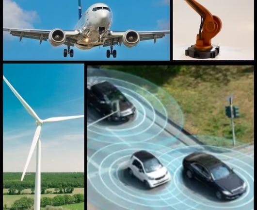
The instructors of the online course "Digitalisation in Aeronautics" present a spectrum of different aviation research and application areas, exploring the impact of digitalisation in this specific field, including the effects of digitalisation in simulating the interaction of aircraft components, in overall aircraft development and related decision-making and in the communication channels used within aircraft. A broad and varied range of applications and digital solutions are explored in detail in the individual modules of this course.

Oct 19th 2026
4 Weeks
Global Warming I: The Science and Modeling of Climate Change (Coursera) Coursera
University of Chicago

Global Warming I: The Science and Modeling of Climate Change (Coursera)

This class describes the science of global warming and the forecast for humans’ impact on Earth’s climate. Intended for an audience without much scientific background but a healthy sense of curiosity, the class brings together insights and perspectives from physics, chemistry, biology, earth and atmospheric sciences, and even some economics—all based on a foundation of simple mathematics (algebra).

Oct 19th 2026
5-12 Weeks
Advanced Modeling for Discrete Optimization (Coursera) Coursera
University of Melbourne,The Chinese University of Hong Kong

Advanced Modeling for Discrete Optimization (Coursera)

Optimization is a common form of decision making, and is ubiquitous in our society. Its applications range from solving Sudoku puzzles to arranging seating in a wedding banquet. The same technology can schedule planes and their crews, coordinate the production of steel, and organize the transportation of iron ore from the mines to the ports. Good decisions in manpower and material resources management also allow corporations to improve profit by millions of dollars.

Oct 12th 2026
5-12 Weeks
Autonomous Aerospace Systems (Coursera) Coursera
University of Naples Federico II

Autonomous Aerospace Systems (Coursera)

The course aims to provide the knowledge needed to design and develop efficient driving and navigation solutions for autonomous vehicles. Driving can be strategic or tactical while navigation is the function that provides information about the position, speed and orientation of the vehicle. It is made by integrating measurement from different sources, such as sensors and receivers.

Oct 12th 2026
5-12 Weeks
Design of Transmission Line: Modelling and Performance (Coursera) Coursera
L&T EduTech

Design of Transmission Line: Modelling and Performance (Coursera)

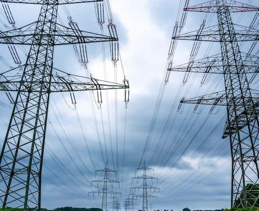
This course is designed to provide a detailed exploration of the critical elements involved in transmission lines' design, modeling, and performance assessment. By enrolling in this course, participants will not only gain theoretical knowledge but also practical skills that are directly applicable in the field of transmission line engineering. Whether you're a student aspiring to enter the industry or a professional seeking to deepen your expertise, this course offers a unique blend of theoretical insights and hands-on applications, equipping you with the tools to excel in this dynamic field.

Nov 2nd 2026
3 Weeks
Modeling Risk and Realities (Coursera) Coursera
University of Pennsylvania

Modeling Risk and Realities (Coursera)

Useful quantitative models help you to make informed decisions both in situations in which the factors affecting your decision are clear, as well as in situations in which some important factors are not clear at all. In this course, you can learn how to create quantitative models to reflect complex realities, and how to include in your model elements of risk and uncertainty.

Oct 19th 2026
4 Weeks
Quantitative Formal Modeling and Worst-Case Performance Analysis (Coursera) Coursera
EIT Digital

Quantitative Formal Modeling and Worst-Case Performance Analysis (Coursera)

Welcome to Quantitative Formal Modeling and Worst-Case Performance Analysis. In this course, you will learn about modeling and solving performance problems in a fashion popular in theoretical computer science, and generally train your abstract thinking skills. After finishing this course, you have learned to think about the behavior of systems in terms of token production and consumption, and you are able to formalize this thinking mathematically in terms of prefix orders and counting functions. You have learned about Petri-nets, about timing, and about scheduling of token consumption/production systems, and for the special class of Petri-nets known as single-rate dataflow graphs, you will know how to perform a worst-case analysis of basic performance metrics, like throughput, latency and buffering.

Oct 19th 2026
4 Weeks
Business Analytics with Excel: Elementary to Advanced (Coursera) Coursera
Johns Hopkins University

Business Analytics with Excel: Elementary to Advanced (Coursera)

A leader in a data driven world requires the knowledge of both data-related (statistical) methods and of appropriate models to use that data. This Business Analytics class focuses on the latter: it introduces students to analytical frameworks used for decision making though Excel modeling. These include Linear and Integer Optimization, Decision Analysis, and Risk modeling. For each methodology students are first exposed to the basic mechanics, and then apply the methodology to real-world business problems using Excel.

Oct 19th 2026
5-12 Weeks
Precalculus: Mathematical Modeling (Coursera) Coursera
Johns Hopkins University

Precalculus: Mathematical Modeling (Coursera)

This course helps to build the foundational material to use mathematics as a tool to model, understand, and interpret the world around us. This is done through studying functions, their properties, and applications to data analysis. Concepts of precalculus provide the set of tools for the beginning student to begin their scientific career, preparing them for future science and calculus courses. This course is designed for all students, not just those interested in further mathematics courses.

Oct 19th 2026
4 Weeks